
A Bicycle Route with a Boat Ride in the Middle
Lake Champlain’s Island Line follows a former railroad causeway, ending at a gap once crossed by a swing bridge.
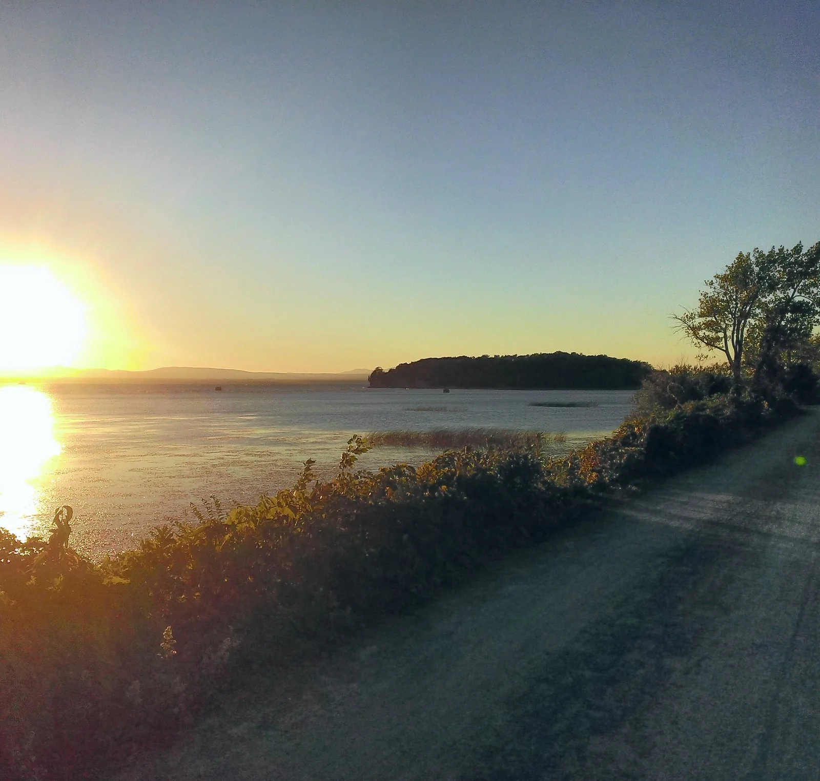
Far out on Lake Champlain, the Island Line Trail narrows to a strip of stone and earth with water on both sides. Then the path stops. A channel about 200 feet wide separates it from the next section of causeway, and a seasonal bicycle ferry carries people across.
A Railway through the Lake
The route began as part of the Rutland Railroad’s Island Line. Completed in 1901, the line carried trains toward the Champlain Islands and the Canadian border. Building through the lake required a causeway roughly three miles long between Colchester and South Hero.
The fill could not simply block boats from crossing. Engineers left an opening and fitted it with a swing bridge. Railroad employees operated the movable span so trains could pass along the causeway and vessels could move between the waters on either side.
Rail service ended in 1961. The swing bridge was removed, leaving an opening that became known as the Cut. Much of the causeway remained, but without the bridge it no longer provided a continuous crossing.
The Shortest Part of the Journey
The former railway became part of a recreation trail linking Burlington, Colchester, and South Hero. Its long, exposed stretch over the lake became one of the route’s most distinctive sections.
Local Motion began operating a bike ferry across the Cut in 2005. Passengers roll their bicycles aboard for the brief trip and continue on the trail at the opposite landing.
The ferry is seasonal and depends on safe conditions. Outside its operating dates, the Cut remains a break in the route. From either side, visitors can see the two lengths of causeway lined up across the water, marking where the railroad’s movable bridge once joined them.
Keep exploring
Take these stories with you.
Open Hidden Here to see the stories around you. Choose a place on the map, read what happened there, or listen while you explore. Optional nearby alerts can point out stories you might otherwise miss.
Discover thousands of stories across the U.S.
Create a free account to read the full stories and listen to five of them. Passport adds unlimited listening.
 See how Hidden Here works

Sources & photograph
Adapted from the Hidden Here story catalog. Explore the historical records behind this story.
